news
ABC News
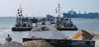
US military starts building pier off of Gaza to deliver aid
LA Times
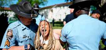
USC cancels 'main stage' commencement ceremony after protests, arrests
NBC Universal
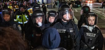
Bodycam video shows handcuffed man telling Ohio officers 'I can't breathe' before his death
Associated Press
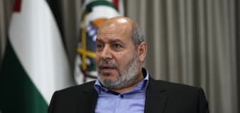
Hamas again raises the possibility of a 2-state compromise. Israel and its allies aren't convinced
Associated Press
Man shot 13 times in Chicago traffic stop where officers fired nearly 100 rounds, autopsy shows
Advertisement


Stay informed and up-to-date with your local news, breaking news events, global events, savings events, solar eclipse news, and in-depth coverage on a wide range of topics. From politics and technology to entertainment and science, we bring you the latest news from around the world.


